
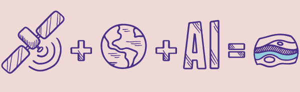
Water has a unique spectral signature and unique backscatter coefficient pattern.
We search massive amounts of satellite data, for these signatures and patterns, using machine learning and artificial intelligence; including 'deep learning' neural networks. We also look for other signals such as elevated evapotranspiration, soil moisture variations...and a few secrets.
We combine data from multiple satellite types (multispectral and Synthetic Aperture Radar), at different spatial resolutions, to create bespoke hyper-scale satellite data sets.
The Earth is pretty big!
When you divide the surface of Earth's land into 10m squares. There are over 1.5 trillion squares! Each of those squares has up 50 bits of satellite data. Then you have to factor for collecting data at different times of day and times of the year!
It’s a lot of data.
Approximately 300 terabytes of data... for an optimised data set..for one satellite pass of the Earth!
Awarded a European Space Agency AI Kickstart contract
Supported by Esri, Nvidia and Amazon Web Services
Supported by Esri, Nvidia and Amazon Web Services
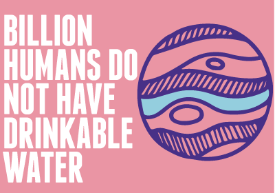

Did you know...
Trillions of litres of water are leaked, every year...by many countries
...like the UK and USA!
We didn't know! So we’re also using our AI
to detect pipe leaks